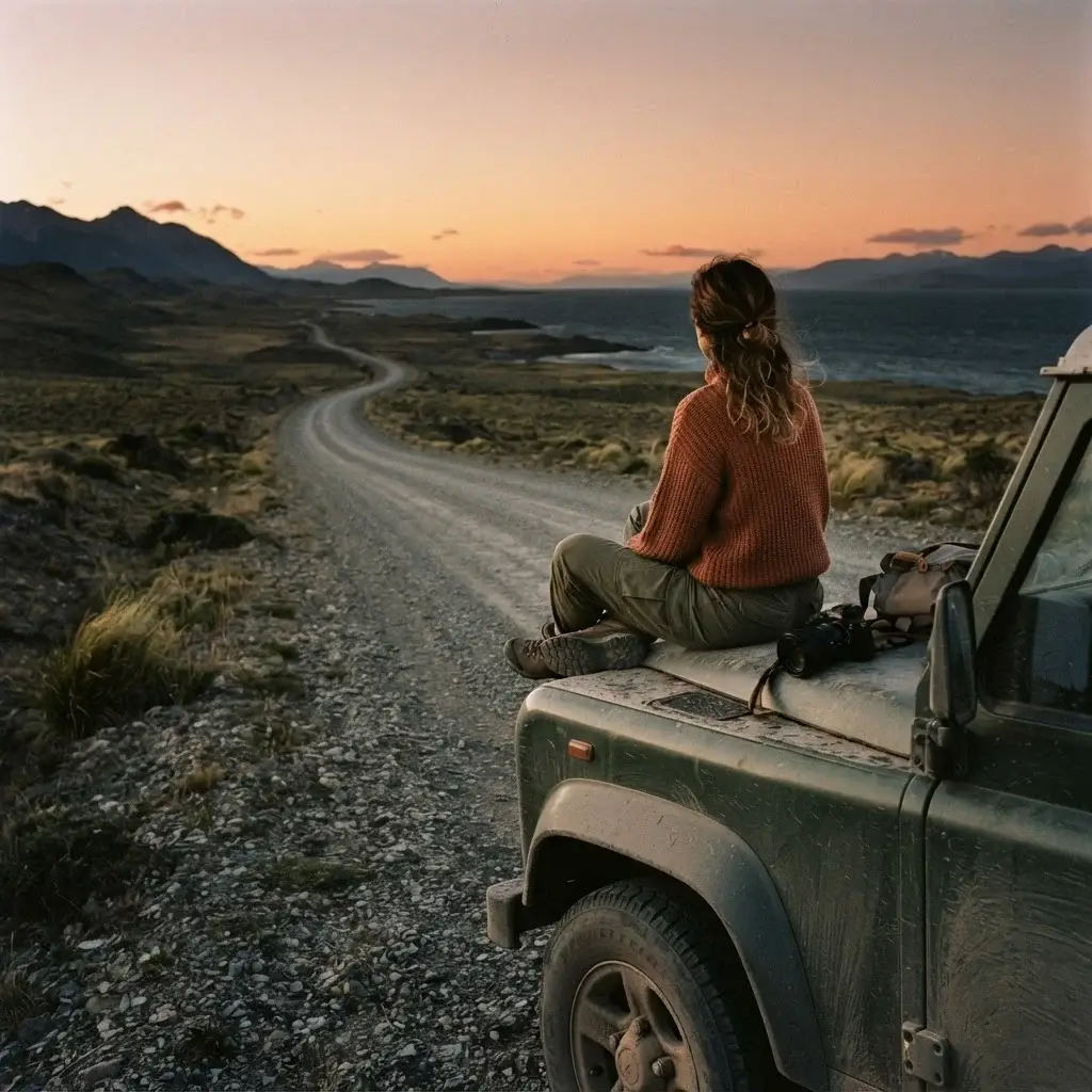
There is something about driving a coast that no other kind of travel replicates. The ocean stays with you. You can hear it through the window, smell it at gas stations, and lose hours watching how the light shifts over water you have never seen before. A coastal road trip is not just a route. It is a rhythm.
I spent years as a certified sightseeing guide in New York City, pointing visitors toward landmarks from the top of open-air buses. It was a good job, and I genuinely loved it. But the thing about guiding people through someone else’s city is that it eventually makes you hungry to navigate something on your own terms. That restlessness is part of what eventually pushed me out the door, toward backpacking routes and unfamiliar coastlines and the kind of travel that does not come with a script.
The Americas have some of the most extraordinary coastal drives on the planet, and what strikes me most when I look at them together is how different they are. A California sunset pull-off has almost nothing in common with the silence of Patagonian fjords, or the noise and color of a Caribbean fishing town. That variety is exactly why this list covers all three Americas rather than just one. Whether you have two weeks or two months, whether you are renting a compact car for the first time or shopping for a campervan, there is a coastal route in the Americas that fits your life right now.
Here is what I have found, researched, and put together for you.
A Note on Planning Before You Pick a Route
Before you fall in love with a specific highway, be honest with yourself about three things: how much time you have, what kind of vehicle you are comfortable driving, and whether you want infrastructure or solitude.
Some of these routes run through national parks with paved, well-marked roads, plentiful gas stations, and towns every hour or two. Others involve gravel stretches, river crossings, or ferries where cell service disappears for days. Neither is better. They are just different trips for different travelers. Knowing which one you are right now saves a lot of frustration later.
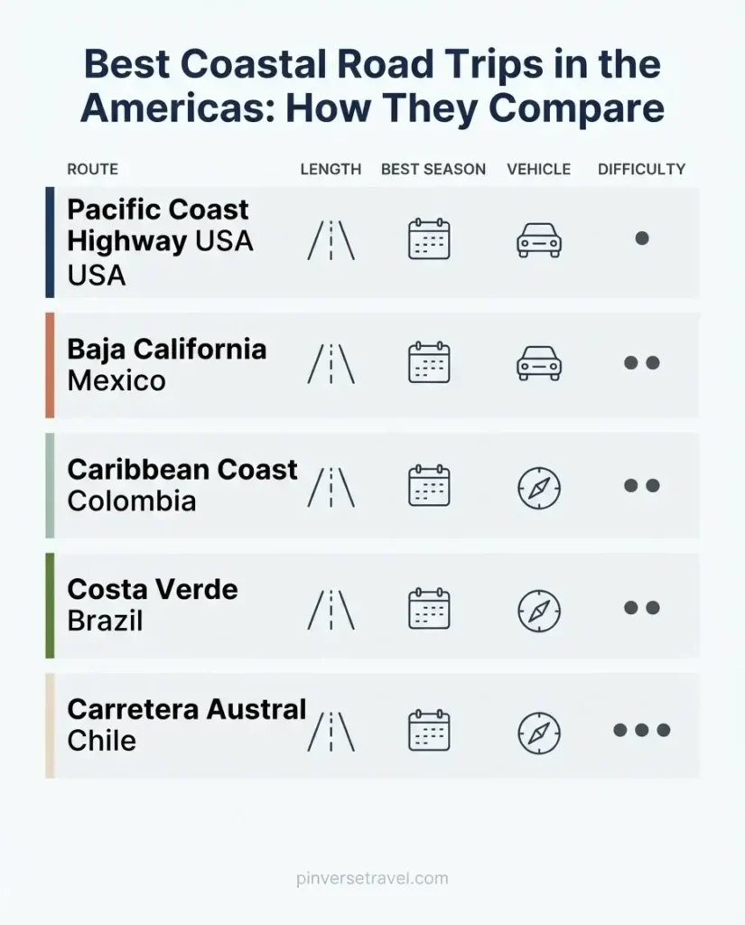
With that said, here are the routes I recommend most, organized from north to south.
Pacific Coast Highway, California, USA: The Road That Earns Its Reputation
This is the one people dream about when they first imagine an American coastal road trip, and the reason is simple: it actually delivers. The Pacific Coast Highway, officially designated as a National Scenic Byway by the Federal Highway Administration, runs along California’s State Route 1 from the Southern California coast all the way north. You can extend the drive up through Oregon and Washington, but the California stretch alone is enough for most first-timers.
The stretch between Los Angeles and San Francisco is the most iconic, and the heart of it is Big Sur, a 90-mile section of coastline where mountains drop almost vertically into the Pacific. Pull-offs appear around corners you were not expecting, and you will stop more often than you planned. That is the correct approach. The whole point here is not the destination but the middle.
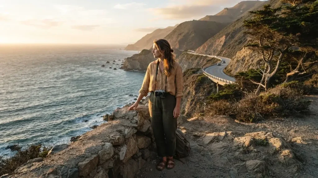
What to know before you drive it: Highway 1 through Big Sur is subject to closures, and checking conditions before you leave is not optional. As of August 2026, a wildfire-related closure is in effect between Fernwood Resort and Julia Pfeiffer Burns State Park. Always check the Big Sur California official highway conditions page before you set out, because conditions can change in a matter of days.
What to eat: Clam chowder in a sourdough bread bowl at Fisherman’s Wharf in Monterey is touristy, yes, and also completely worth it. In the small towns between Big Sur and San Luis Obispo, look for fresh oysters and local pinot noir. As you get closer to Santa Barbara, switch to avocado everything.
Solo travel note: This is one of the more forgiving solo drives in the Americas. Traffic can be heavy in summer between San Francisco and Los Angeles, but towns are close together, cell service is reliable in most stretches, and the infrastructure is solid. It is a great first coastal road trip if you have never done one before.
Rough timing: A relaxed drive from Los Angeles to San Francisco takes five to seven days if you stop genuinely rather than racing through. Plan around shoulder season, April to May or September to October, when crowds thin out and the coastal fog of summer has either not arrived or has already lifted.
Baja California, Mexico: The Desert Meets the Sea
Baja is a different kind of coastal road trip, and it rewards travelers who are willing to let go of certainty. The Baja Peninsula stretches more than 1,000 miles from Tijuana down to Cabo San Lucas, with the Pacific Ocean on one side and the Sea of Cortez on the other. The landscapes alternate between red desert, white sand beaches, and cacti forests so thick they block the horizon.
Most travelers doing the full peninsula start in the north, cross the border at Tijuana or Tecate, and work their way south along Federal Highway 1, which is paved and generally well-maintained. The key stops are Ensenada, Guerrero Negro (one of the world’s best places to watch gray whales during their January-April migration season), Loreto, and finally Cabo San Lucas or La Paz.
What makes this route special: The food culture is extraordinary. Fish tacos in Baja are genuinely different from fish tacos anywhere else in the world. They are light, crispy, and served with pickled cabbage and crema at roadside stands that look like they seat six people. Ceviche made with fresh corvina or shrimp, washed down with an agua fresca, is a recurring pleasure you will find yourself planning stops around.
What to prepare for: Baja is generally safe for travelers who exercise standard awareness, but you should avoid driving after dark. Gas stations are sparse in the central peninsula, so fill up whenever you see one. Carry extra water, some cash in pesos, and a basic vehicle emergency kit. Cell signal disappears in long stretches of the central desert, so download offline maps before crossing the border.
Solo travel note: Solo female travelers have done this route successfully for years, and the consensus from experienced Baja travelers is to drive during daylight, camp in established sites rather than wild spots alone, and trust your instincts about which towns to stop in. From what solo travelers consistently report, the local communities in most towns are welcoming and genuinely hospitable to respectful visitors.
Rough timing: October through April is ideal, avoiding the brutal summer heat of the central desert. The gray whale season from January through April adds a wildlife dimension that is hard to beat.
Colombia’s Caribbean Coast: Cartagena to Tayrona
This stretch of Colombia’s northern coast is one of the most culturally rich and visually striking coastal drives in all of the Americas, and it is one that most North American travelers have not yet done. The route runs roughly from the walled colonial city of Cartagena east along the coast to Santa Marta, with Tayrona National Natural Park as the grand finale.
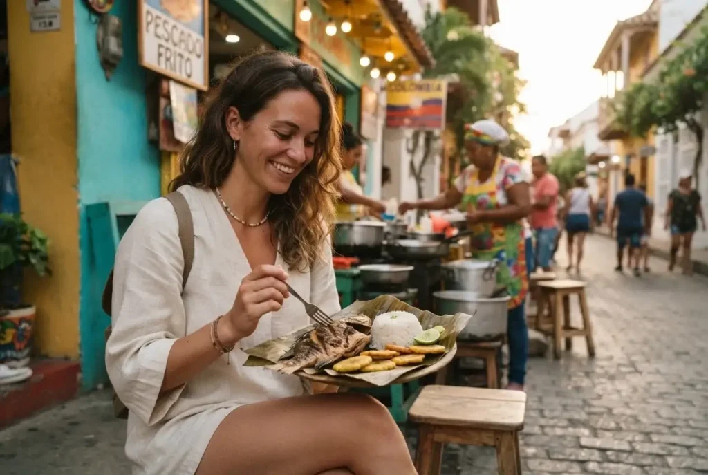
You can cover the 150-mile distance quickly, but the whole purpose of this drive is to slow down. Mompox, Palomino, and the towns between Cartagena and Santa Marta are places with real, textured daily life. The food along this coast is heavily Afro-Caribbean, which means fried fish served whole, coconut rice that borders on dessert, and arepas de choclo filled with cheese that melt in the morning heat. Street food is not a backup plan here. It is the main event.
Tayrona is the anchor point at the eastern end, and it is worth building your timeline around. The official park website is where you should book your entry in advance, particularly in high season (December to January and June to July when Colombian families are traveling). Foreigners not resident in Colombia pay around 39,000 COP (approximately $9-10 USD) for entry as of 2025 rates. The park has scheduled seasonal closures for ecological restoration, typically in February, so confirm dates before you plan your trip. A yellow fever vaccination is recommended before visiting.
Solo travel note: From what solo travelers consistently report about this coastal stretch, traveling during daylight hours between towns, keeping valuables out of sight, and staying in established accommodations rather than ad-hoc spots keeps the experience smooth and genuinely enjoyable. Cartagena and Santa Marta both have solid backpacker infrastructure with affordable hostels and good transport connections.
What you will want to know about the drive: Most travelers rent a car in Cartagena for this coastal segment, or use a combination of public buses and shared taxis called colectivos, which are cheap, frequent, and how locals actually get around. A car gives you freedom to stop at fishing villages and coastal viewpoints that buses roll past without slowing down.
Brazil’s Costa Verde: Rio de Janeiro to Sao Paulo
This is possibly the most underrated coastal road trip in all of South America, and it remains largely under the radar for international travelers who tend to stick to Rio and Sao Paulo independently without connecting them by road.
The route follows the BR-101 southward from Rio de Janeiro, hugging the coastline through rainforest-covered hills, small beach towns, and river estuaries. Travel + Leisure has called it one of Brazil’s dreamiest road trips, and the headline is accurate. The landscape alternates between emerald jungle and sea views you need to pull over for.
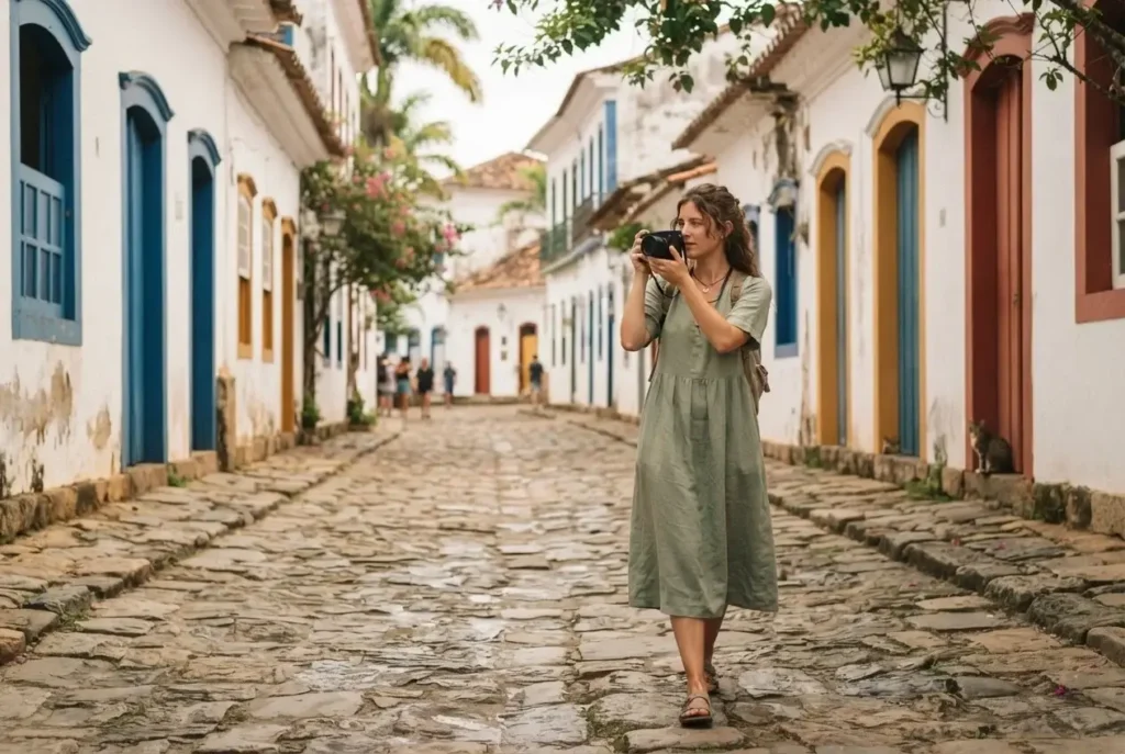
The two anchor stops between the endpoints are Paraty and Ilhabela. Paraty, inscribed as a UNESCO World Heritage Site in 2019, is a preserved colonial town where cobblestone streets flood at high tide and the surrounding bay holds dozens of islands accessible by local boat tours. It is the kind of place where you plan to stay one night and end up staying three.
Ilhabela, an island municipality reached by a short ferry from the mainland town of Sao Sebastiao, is dense Atlantic rainforest with hundreds of waterfalls and beaches that require a jeep to reach.
Road reality: The BR-101 is well-maintained and paved, and you do not need a 4×4 for the main coastal route. That said, Brazil’s speed cameras are strict and frequent. Google Maps shows radar locations, but they come up fast. Tolls are regular and cost roughly R$5-20 each, and most accept cards. Within Rio and Sao Paulo, use Uber rather than trying to drive. Uber is widely available and never expensive by the stop.
What to eat: Sip fresh coconut water from roadside vendors. At Paraty, eat barreado, a slow-cooked meat stew that has been a coastal tradition for centuries. In Ilhabela, fresh grilled fish with piranha-free river swimming afterward is the unofficial daily schedule. The food along this coast is honest, generous, and completely tied to the sea.
Rough timing: April to September is outside Brazil’s rainy season and generally the most comfortable for driving the coast. Avoid Carnival week in February unless you specifically want the celebration as part of your trip.
The Carretera Austral and Route of Parks, Chile: The Road That Changes You
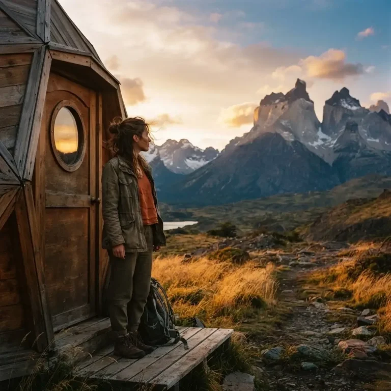
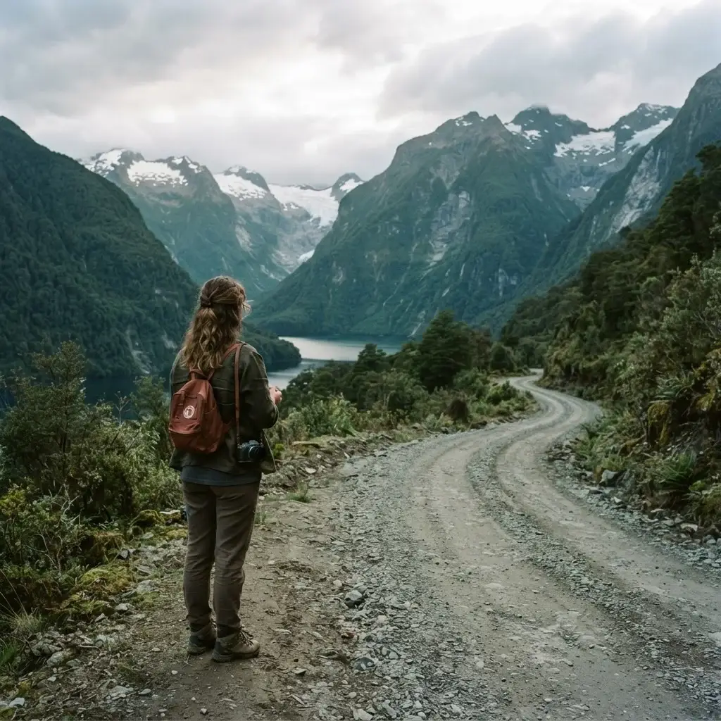
This is the one that travelers who have done all of the others tend to talk about differently. The Carretera Austral, or Ruta 7, runs for approximately 770 miles through Chilean Patagonia from Puerto Montt in the Lake District south through remote valleys, glaciers, hanging forests, and fjords that have no name on most maps. It is part of the broader Route of Parks of Patagonia, a 1,700-mile corridor of 17 national parks protecting 28 million acres of some of the least-disturbed ecosystems on Earth.
There is no way to sugarcoat the logistics: this is a serious road trip. Large sections are unpaved gravel, and a 4×4 vehicle is strongly recommended, not optional.
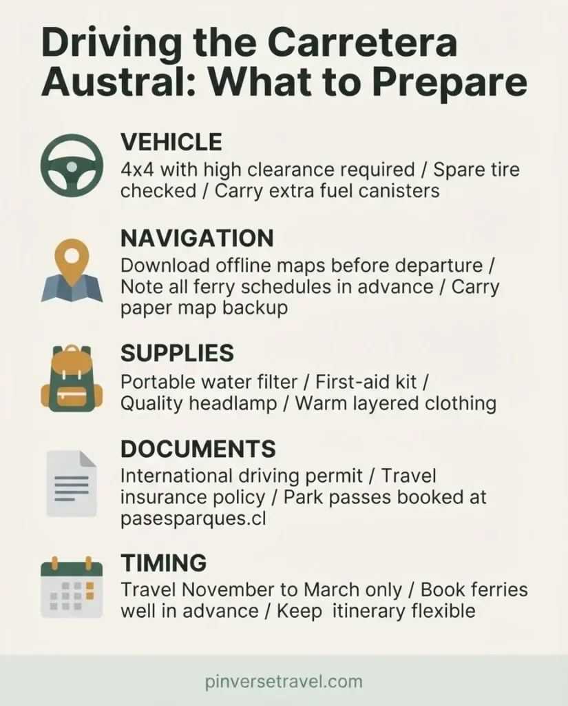
Multiple ferry crossings are required because the road is literally interrupted by fjords and glacial rivers where no bridge has been built. The ferry at Caleta Gonzalo alone takes several hours. Planning around ferry schedules is part of the route, not an inconvenience.
What makes it worth every logistical headache: The silence. The scale. The fact that you can drive for two hours without seeing another car and realize that solitude is exactly what you came for. The small towns along the route, places like Chaiten, Puyuhuapi, and Cochrane, have communities that exist almost entirely within the rhythm of the land. You eat lamb because lamb is what is here. You drink river water because it is clean enough to drink straight. The world simplifies in a way that is genuinely hard to find anywhere else.
Entry to Chilean national parks: Tickets for parks along the Carretera Austral are managed online through Chile’s official park pass system, administered by CONAF. Book major parks, particularly those with limited capacity, well in advance in the summer season of December through February.
Solo travel note: From what solo travelers consistently report, the Carretera Austral is manageable solo but requires more careful preparation than other routes on this list. The distances between services are real, the weather changes without warning, and mechanical help is not always close. If you are doing this for your first solo road trip, do the PCH or Costa Verde first. Come back to the Carretera Austral when you are ready for the road to ask more of you.
Rough timing: November through March is Patagonian summer and the only realistic window for most travelers. Even then, expect cold rain, fierce wind, and days where the glacier disappears behind cloud and you wait it out with a cup of mate at a farmhouse cafe.
The Common Thread Across All of These Routes
When I look at all of these coastal drives together, a few honest truths emerge that no one puts at the top of their guide:
The best road trips are not won by moving fast. Every single route on this list rewards travelers who stop when something looks interesting, eat at the place with no menu board, and ask locals where they actually go on a day off. I learned this working as a guide in New York City, where the tourists who got the most out of the city were never the ones racing from the Empire State Building to Central Park in an hour. They were the ones who sat down at a diner and talked to whoever was next to them.
Coastal roads also require humility about conditions. Highway 1 closes. The Carretera Austral has ferry delays. The Colombian coast has rainy seasons that turn dirt tracks to mud. Building a loose itinerary rather than a rigid one is not a travel cliche. It is just how coastal roads work.
And finally: start somewhere on this list. Not someday. Not when the timing is perfect. The timing will never be perfect. Pick the route that feels closest to where you are right now, in budget, in experience, in courage. Drive it. Then come back and pick the next one.
The Americas are a long coastline. You have time.