I grew up in New York, and for years, my idea of a “hike” was walking across Central Park a little faster than usual. Then I started working as a certified sightseeing guide, pointing tourists toward skylines and paved observation decks. Beautiful, yes. But somewhere along the way, I realized I was showing people the surface of things. I wanted to go deeper.
That feeling eventually pushed me out of New York entirely. It took me through Thailand, across Europe with just a backpack, up into the mountains of China, and into remote corners of Ghana. Each time I laced up my shoes on an unfamiliar trail, something shifted in me. I got more comfortable with being uncomfortable. I started to trust my own instincts in a way I never had behind a desk.
North America is one of the most extraordinary places on earth for hiking. Not because it has one iconic trail or one spectacular park. Because it has everything: scorching desert canyon hikes, ancient temperate rainforests, glacier-carved fjords, red rock slot canyons, and 2,000-mile footpaths that have become pilgrimages of personal reinvention. And unlike many hiking destinations around the world, much of it is well-mapped, accessible, and designed to welcome first-timers.
This guide is organized by region and skill level, because the best hiking trail for someone is never a universal answer. It depends on your fitness, your time, your comfort with remote terrain, and what kind of experience you’re actually looking for. Let’s figure out where you belong.
Before You Book Anything: The America the Beautiful Pass
If you’re planning to hike in the U.S. and you’re visiting more than one national park or federal land, the single smartest thing you can do before booking flights or accommodation is sort out your entry passes. The America the Beautiful Annual Pass costs $80 for U.S. residents and covers entrance fees at all national parks, national forests, and federal recreational lands for a full year. For non-U.S. residents, the annual pass is $250, which is still significant value if you’re visiting multiple parks. What most people don’t realize is that at 11 major parks, including Zion, Grand Canyon, Glacier, and Yosemite, non-residents age 16 and over now pay an additional $100 per-person fee on top of the standard entrance, unless they hold the annual non-resident pass. If you’re an international visitor planning a road trip across multiple parks, run the math before you go. The pass will pay for itself quickly.
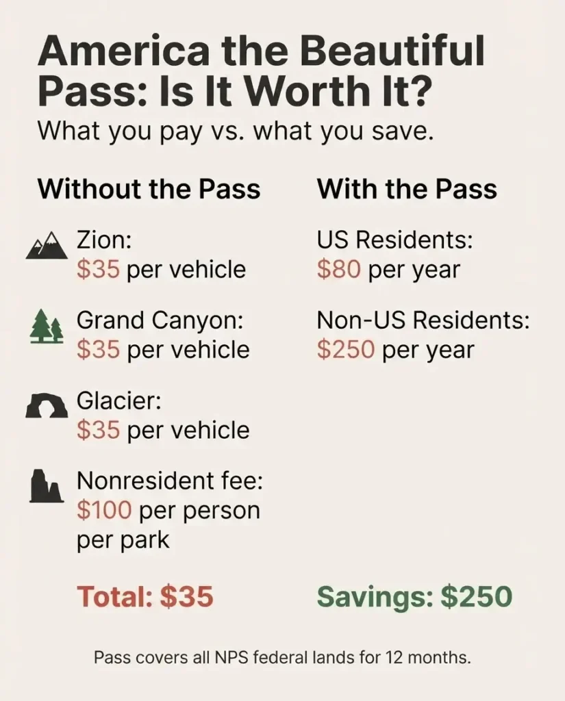
The NPS also designates several free entrance days each year where the entry fee is waived at all fee-charging parks, though the $100 nonresident surcharge still applies to international visitors on those days.
The American Southwest: Drama, Color, and Trails for Every Level
Zion National Park, Utah
If I were pointing a brand-new hiker toward their first big North American trail experience, Zion would be near the top of my list. It has something that many of the continent’s famous parks do not: genuine accessibility without sacrificing awe. You can step off the free park shuttle (which runs March through November, departing every five to ten minutes from the Zion Canyon Visitor Center) and within minutes be standing inside one of the most dramatic landscapes you will ever see.
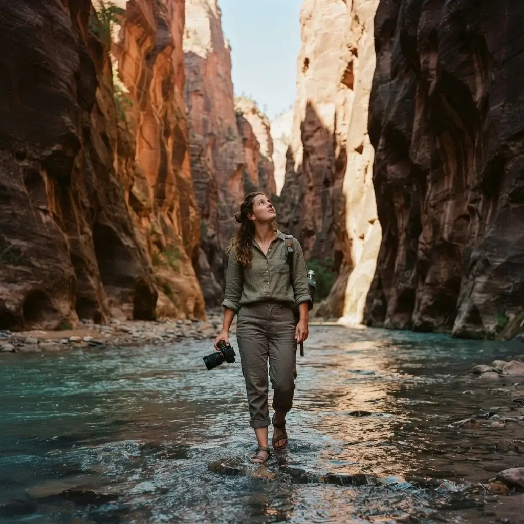
The Narrows is Zion’s most iconic hike, and with good reason. You walk directly in the Virgin River, through a slot canyon with walls rising 1,000 feet overhead. Here’s what most articles won’t tell you: you don’t need a permit to do the bottom-up version. Most day visitors walk roughly three miles upstream from the Temple of Sinawava (shuttle stop 9) and back, and no permit is required. The top-down route from Chamberlain’s Ranch is a different matter and does require a permit, but it’s also a multi-day backcountry adventure most beginners aren’t ready for yet. Check the Zion permits and reservations page for full current details before you go, as conditions and permit requirements can change.
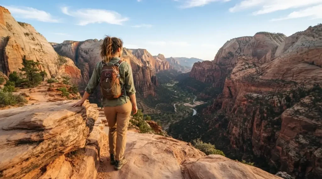
Angels Landing is the other trail everyone talks about, and it deserves its reputation. The final half-mile to the summit is a narrow ridge with chains drilled into the rock as handholds, with sheer drops on both sides. It is thrilling. It is also now permit-only for the chained section, with a $6 application fee through a rolling lottery plus $3 per person if selected. The lower section of the trail, Walter’s Wiggles and the Scout Lookout, is excellent even without the summit and doesn’t require a permit. If heights make you nervous, turn around at Scout Lookout and you’ll still have earned views that will stay with you for years.
Best time to visit: Spring (March to May) and Fall (September to November) for comfortable temperatures. Summer in the canyon floor can exceed 100 degrees Fahrenheit. Winter hikes are possible and beautiful if you prepare for cold and wet conditions in The Narrows.
Grand Canyon, Arizona
The Grand Canyon is one of those places where the preparation genuinely matters more than the destination. The canyon does not care about your fitness level. It is one mile deep, and what feels like a gentle descent at 7 a.m. becomes a brutal uphill slog in the midday heat on the way back out. The single most important piece of advice for any hiker here: turn around before you want to.
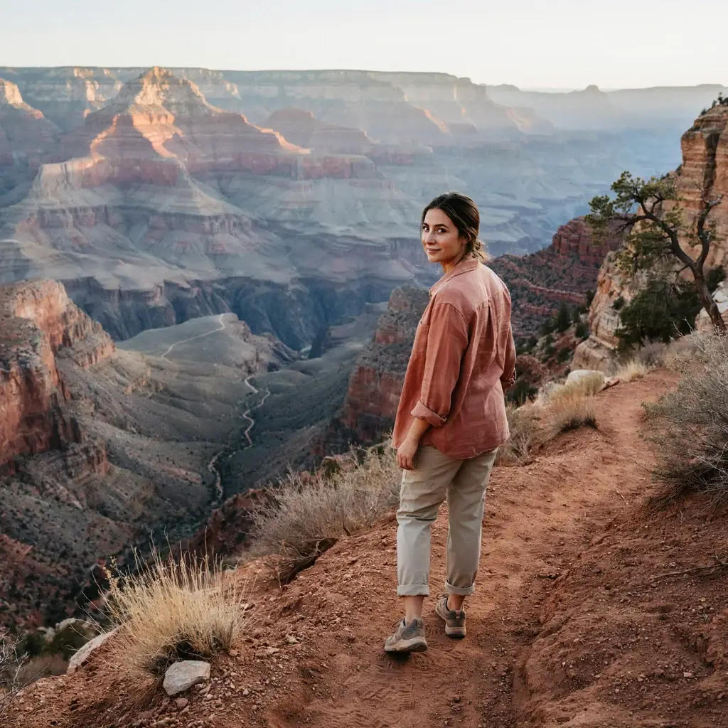
The Bright Angel Trail is the best starting point for most people. It begins at the South Rim near Bright Angel Lodge and descends gradually to multiple turnaround options: 1.5-mile Resthouse (with emergency phones and seasonal water), 3-mile Resthouse, and ultimately Indian Garden at 4.6 miles. Each of these is a legitimate turnaround and a satisfying half-day hike. Water stations at the 1.5- and 3-mile resthouses are open mid-May through mid-October. The trail follows an ancient Indigenous route and the interpretive signs along the way add real depth to the experience.
From a solo hiking perspective, Bright Angel is one of the most welcoming trails on the continent. It is wide, well-marked, heavily trafficked (which means help is never far), and offers multiple bailout points. It does not require a permit for day hikes.
What to eat in the area: The town of Tusayan just outside the park has a handful of solid options, but for something with more character, the Grand Canyon Village inside the park has the El Tovar Dining Room with canyon views, or grab a simpler meal at Bright Angel Restaurant. Pack your own lunch, though. Eating on the trail is one of the quiet joys of hiking.
The American Northwest: Rain, Glaciers, and Something That Feels Like Wilderness
Glacier National Park, Montana
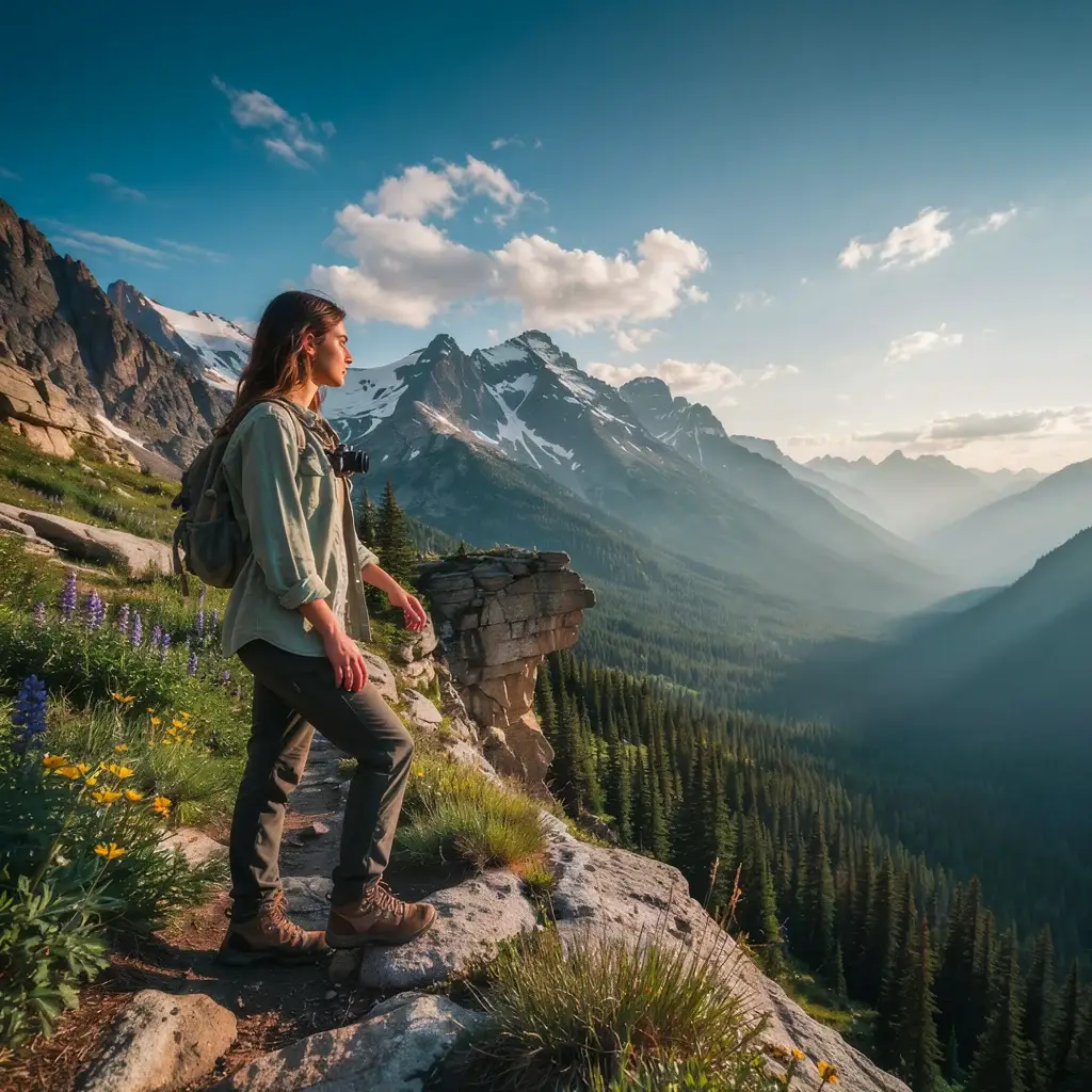
Glacier is where North America shows off. Over 700 miles of trails spread across a landscape shaped by ancient glacial activity, and the diversity of terrain here is remarkable: alpine meadows thick with wildflowers, sapphire lakes, dramatic ridgelines, and the kind of scale that makes you feel small in a way that is genuinely good for you.
The Highline Trail is Glacier’s signature hike and one of the most celebrated day hikes on the continent. Starting from the Logan Pass Visitor Center (elevation 6,646 feet) along the Going-to-the-Sun Road, it traverses a narrow ledge with a chain assist before opening up into sweeping alpine terrain for about 11.8 miles to the Loop trailhead. From what solo hikers consistently report, the early start is non-negotiable here. Logan Pass parking fills completely by 8 a.m. in summer and the shuttle system, while helpful, adds time to your day. Going-to-the-Sun Road is one of the most spectacular drives in North America even if you’re not hiking; the views alone justify the visit.
Glacier requires vehicle reservations to access the Going-to-the-Sun Road corridor during peak season (typically late May through mid-September), made through recreation.gov. The park entrance fee is $35 per vehicle, and non-U.S. residents pay an additional $100 per person fee; see Glacier’s official fees page for current details.
Best for beginners in Glacier: The Trail of the Cedars is a 0.9-mile loop through old-growth cedar and hemlock forest near Avalanche Creek that is accessible, flat, and genuinely enchanting. Pair it with the 4.5-mile round-trip Avalanche Lake trail for a half-day experience that’s appropriate for most fitness levels.
Wildlife note: Black bears and grizzlies are present throughout the park. Carry bear spray, hike in groups when possible, and make noise on the trail. This isn’t meant to scare you. It’s meant to send you prepared. I’ve spoken to solo travelers who cite Glacier as one of their favorite parks precisely because the wildlife reality forces you to be present in a way that clears your head completely.
The American East Coast: History, Seasons, and the Long Green Tunnel
The Appalachian Trail
The Appalachian Trail is not just a hike. For many people, it is a reorientation. At 2,197.9 miles from Springer Mountain, Georgia to Mount Katahdin, Maine, the A.T. is the longest hiking-only footpath in the world. You don’t have to thru-hike it to understand why it matters.
The trail passes through 14 states and over 500,000 people hike some section of it every year. Section hiking is the practical, sanity-preserving approach for most people with jobs, families, or a preference for showers. Pick a weekend, choose a section near you, and go. The Appalachian Trail Conservancy’s hike planning resources are excellent and free, covering sections by state, recommended day hikes, resupply strategies for longer trips, and permit requirements by area. Most sections of the A.T. are free to hike with no entry fee, though camping at some sites and shelters does require permits in certain areas.
Popular accessible sections include: Harpers Ferry, West Virginia (a historic town right on the trail), the Roan Highland balds in Tennessee and North Carolina (open meadows with 360-degree views), and the White Mountains of New Hampshire (dramatic above-treeline terrain that should be approached with solid preparation). The Appalachian Mountains along the Eastern Seaboard also carry layers of cultural history that most trail guides gloss over. The route threads through Cherokee ancestral lands in the South, past remnants of Appalachian homesteads and Civil War battle sites, and through small towns whose economies have long been tied to the forest.
Best season: Late spring through early fall. The Southern sections (Georgia, Tennessee, North Carolina) are best from March through June; the Northern sections (Maine, New Hampshire, Vermont) are best July through September to avoid early snowfall and mud season.
Canada: The Scale of Things
Banff National Park, Alberta
When solo travelers ask me where in North America they can feel most like they have entered another world, Banff comes up more than almost anywhere else. The landscape is genuinely overwhelming: turquoise glacial lakes, jagged limestone peaks, elk walking down Main Street in the town of Banff. It sounds like a postcard cliché. It looks like one too. And it earns every bit of it.
Parks Canada’s official hiking page for Banff lists trails from easy one-hour walks to multi-day backcountry routes. For first-timers, Johnston Canyon is the gateway experience: a mix of paved walkways, dirt trail, and steel catwalks built into the canyon walls that leads past two impressive waterfalls (Lower Falls at 1.1 km one way and Upper Falls at 2.4 km). It is accessible, safe for solo hikers, and genuinely beautiful. Be prepared for crowds in July and August; starting before 9 a.m. makes a significant difference.
For something more ambitious, the Plain of Six Glaciers trail starting from Lake Louise (11.4 km round trip) climbs through ancient moraine terrain to a teahouse near the glacier and views of peaks that will genuinely stop your breath. The lake itself, at the trailhead, is one of the most photographed spots in Canada, and for good reason.
Canadian park pass: A daily adult admission pass costs around CAD $11 in 2025, though Banff National Park announced free admission from June 19 to September 7, 2026 as part of the Canada Strong Pass initiative. Always check Parks Canada for the most current admission pricing before your trip.
Best time to visit: July through mid-September for most trails. Higher elevation routes open as snow melts, usually late June or early July. Spring is muddy at lower elevations but offers fewer crowds and occasional wildlife sightings that can be extraordinary.
For the Adventurous and Well-Prepared: Long-Distance and Permit-Required Trails
Pacific Crest Trail, California/Oregon/Washington
The PCT stretches 2,650 miles from the Mexico-California border to the Canada-Washington border, passing through three states and some of the most geologically diverse terrain on the continent. You don’t thru-hike the PCT casually. It takes five to seven months, significant physical preparation, and meticulous planning. But sections of the PCT are accessible to day hikers and weekend backpackers, particularly in the Sierra Nevada and the Cascades.
If you’re considering a long-distance permit (500 or more continuous miles), the Pacific Crest Trail Association’s permit page is the authoritative source. Long-distance permits are free and administered through a lottery system with specific application windows. Planning well in advance is essential; spots fill quickly. The PCTA also notes that permits are required in specific local permit areas even for shorter sections, so checking before any overnight trip is important.
Kalalau Trail, Kauai, Hawaii
Technically Hawaii is part of North America and the Kalalau Trail earns its place on any serious list. The 11-mile trail along the Na Pali Coast of Kauai’s north shore is one of the most visually dramatic coastal trails anywhere in the world. The cliffs are iridescent green rising from a deep blue Pacific. The trail is narrow, rugged, and demanding.
Here’s the permit reality: a camping permit from the Na Pali Coast State Wilderness Park is required to hike past the 2-mile mark at Hanakāpīʻai Beach, whether you’re camping or just day-hiking further in. Permits are limited and go fast; they open 30 days in advance and sell out within minutes of becoming available. The first two miles to Hanakāpīʻai Beach are permit-free and give you a legitimate taste of the trail’s beauty. If you want the full experience, set your alarm for well before the release time and be ready.
Practical Notes That Most Guides Skip
Getting Around Without a Car
Renting a car is the most practical option for most of these parks, but it is not the only option. Zion National Park’s free shuttle system makes it genuinely easy to access the main canyon hikes without driving at all. The shuttle runs from Springdale (the gateway town) into the park with no reservation required. Glacier, Banff, and the Grand Canyon also have shuttle and bus options, though reliability and frequency vary by season. Researching transit options before you arrive can save you significant stress and money.
Physical Preparation
If you’re new to hiking, this matters more than any piece of gear. The single best preparation for a canyon hike like the Grand Canyon or a ridge hike like Glacier’s Highline is time on your feet with elevation change: staircase intervals, hill repeats, or even just long walks with a loaded daypack. Start weeks before your trip, not the week before. Most trail injuries and evacuations involve people who underestimated the physical demand and overestimated their fitness.
Solo Hiking Safety
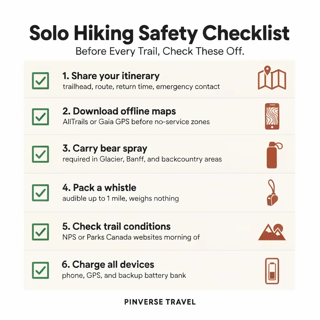
This is something I take seriously, especially after years of solo travel across unfamiliar terrain. Before any solo hike, share your exact itinerary with someone you trust, including the trailhead location, planned route, turnaround time, and when they should call for help if they haven’t heard from you. Download an offline map through an app like AllTrails or Gaia GPS before you enter areas with no cell service. Carry a whistle. If you’re in bear country, carry bear spray and know how to use it. These are not fear-based precautions. They are the things that let you hike with genuine confidence rather than creeping anxiety.
The solo hiking community at the Washington Trails Association has some excellent, honest writing on solo hiking psychology that I think is worth reading before your first big solo trail.
How to Actually Decide Where to Start
Here’s the framework I’d give a friend standing in front of a map of North America with a week to spare:
If you want maximum drama for minimal physical demand: start with Zion. The shuttle makes logistics easy, the trails range from accessible to challenging, and the canyon scenery rewards at every level.
If you want solitude and a sense of deep wilderness: Glacier rewards hikers who go early in the morning and choose trails beyond the main visitor centers. It is less forgiving logistically but offers a rawness that is hard to find elsewhere.
If you want cultural depth layered with natural beauty: the Appalachian Trail through the Southern Appalachians rewards slow, curious travel. The towns, the history, the people you meet on the trail are as much of the experience as the miles underfoot.
If you want Canada’s version of the mountain high: Banff delivers in a way that feels almost unfair. Give yourself at least three to four days.
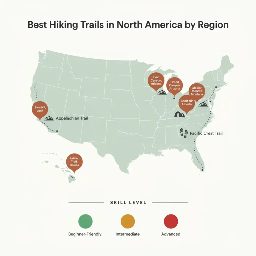
The truth is, the “best” hiking spot in North America is the one you actually book. Every trail on this list has transformed people. Not because the scenery did it for them, but because getting out there, putting one foot in front of the other in an unfamiliar place, showed them something about themselves that a screen and a routine never could.
That is what hiking has always been about. And it is waiting for you, right now, whenever you decide you are ready.